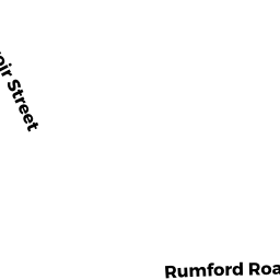
4 RUMFORD RD
Owner Information
CAMPBELL ERIN N
32 SHANNON WAY
NORTH ATTLEBORO, MA 02760


Property Details
4 RUMFORD RD is classified as a Single Family Residential (Ranch).
The primary structure on this property was built in 1970. There are 960ft2 of built area within this property. There is 960ft2 of residential/living space within this property. This property is listed as having 5 rooms.
4 RUMFORD RD is valued at $265,200. The land is valued at $131,700 and the structures are valued at $132,900. There is an additional valuation of $600 on this property.
The most recent deed for 4 RUMFORD RD is recorded at the local registrar in Book 24479, Page 56. 4 RUMFORD RD was last sold on Tuesday, June 5, 2018 for $275,000.
Assessment data from fiscal year 2021.
Flood Data
This property has multiple flood prone designations.
| Zone | Description | BFE | Area |
|---|---|---|---|
| A | within floodplain | None | 0.17 (16.98%) |
| AE | within floodplain | None | 0.82 (80.05%) |
This information is sourced from the FEMA National Flood Hazard Layer. See our full disclamer.
Broadband Internet Providers
| Provider | Type | Bandwidth (mbps) | |
|---|---|---|---|
| HughesNet | Satellite | 25 | 3 |
| Viasat Inc | Satellite | 100 | 3 |
| Verizon New England Inc. | DSL | 15 | 1 |
| Comcast | Cable | 1000 | 35 |
| GCI Communication Corp. | Satellite | 0 | 0 |
| VSAT Systems, LLC. | Satellite | 2 | 1 |
Broadband service provider data from December 2020.